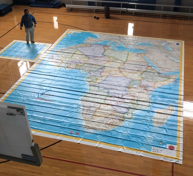
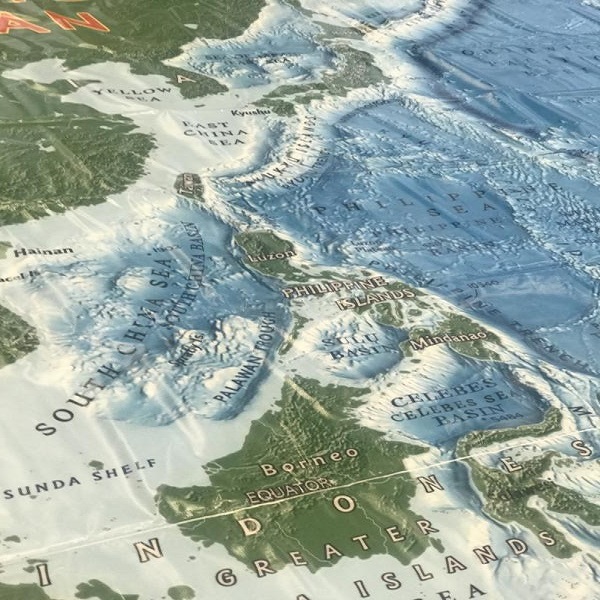
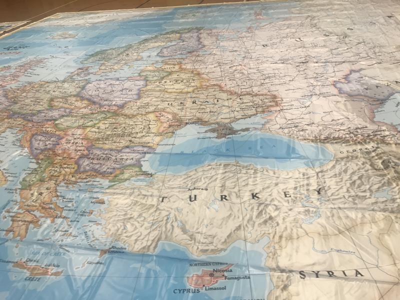
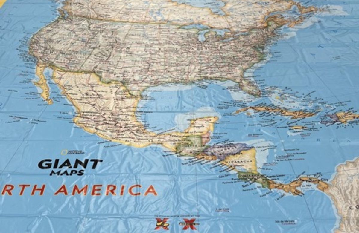
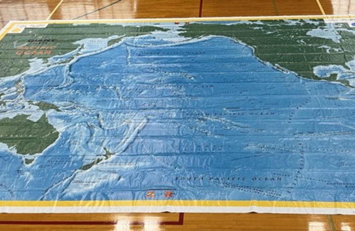
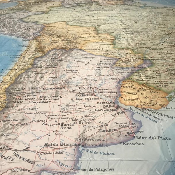
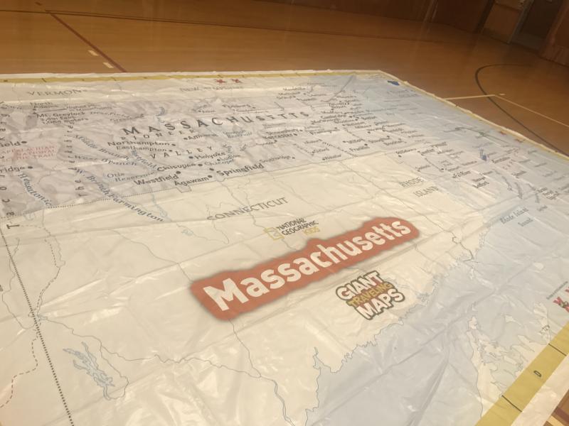
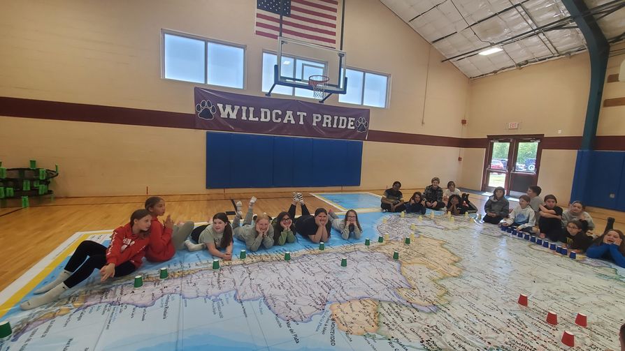
This is a content holder for the one button emergency notification system.
Children checking out the floor map of Massachusetts with Professor Domingo

What better way to teach young people the power of maps and the limitless depth of geography than a half court-sized map of a continent or a classroom-sized state map on which they can explore, travel around, collaborate and have lots of fun?

Project EarthView offers seven giant floor maps, detailed below.

EarthView floor map of Africa

Africa’s deep rainforests, endless savanna and tremendous Sahara are a geographical field trip for your students, who will explore spectacular animals, human settlements and iconic images on this visually stunning map of the continent. The brightly colored map clearly illustrates oceans, seas, rivers, mountains, countries and capitals.

Map Dimensions: 23' x 30'

EarthView floor map of Asia

Brave the tundra, travel the desert, and visit the highest and lowest known elevations on Earth. From Siberia to Saudi Arabia and from the Caucasus to Cambodia, Asia encompasses a diverse landscape, extremes in climate, and is home to over 60 percent of the world’s population!

Map Dimensions: 32' x 37'

EarthView floor map of Europe

History, culture and geography collide in Europe. From the Scottish highlands to the Greek Isles, students will learn country locations, names, capital cities and physical features.

Map Dimensions: 30' x 30'

EarthView floor map of North America

The rich tapestry of North America, from the Canadian north to Panama, awaits your students’ inquiring minds and fast feet.

Map Dimensions: 20' x 26'

The Pacific Ocean map introduces students to the planet’s largest ocean, which covers over one third of Earth’s surface. Dive deep and visit the Ring of Fire to explore geology and earth science.

Map Dimensions: 26' x 20'

EarthView floor map of South America

Imagine your students scaling the high peaks of the Andes, searching for the ancient city of Machu Picchu, and following the Amazon River from its alpine headwaters thousands of miles through the Brazilian rain forest all the way to the Atlantic Ocean.

Map Dimensions: 20' x 26'

EarthView floor map of Massachusetts

Tour the Commonwealth of Massachusetts with your students using our Massachusetts state map. From the beautiful western Berkshires to the rugged and varied coast of eastern towns, visit and discuss the geography of our state with local and familiar features, and learn something new about our home state.

Map Dimensions: 21' x 15'

Reserve EarthView Floor Maps

Dates for Visits to Your School 
EarthView floor map visits take place on Fridays from September 8, 2023, through May 10, 2024, and on Wednesdays from May 11, 2024 through June 28, 2024.

Floor Map School Visits
By participating in the EarthView floor map program schools are able to share these beautiful Geographic maps with their students. Our instructors can lead a floor map program using one of seven giant National Geographic maps.

Floor Map Lending Program
Floor maps are also available as a lending program, for those teachers who would prefer to use the maps independently. Maps can be borrowed any day, depending on availability. Borrowing floor maps does not require training.

Reservations 
To schedule a map visit or borrow a map, please review the EarthView Program Guidelines, check our calendar for availability, and submit a completed EarthView Program Reservation Request Form. A member of our team will contact you within 48 hours of your request. Please note there is a fee associated with school visits.

We would love to see pictures of your students in action! We do need the Media Release submitted with each photograph.

Please contact casebsu@bridgew.edu with any questions.